
Smooth Colorado Cycling on The Poudre River Trail
Greely, Colorado
The Poudre River Trail - Greeley to Windsor
Distance: 21 miles
The Poudre River Trail runs about 21 miles between Greeley and Windsor in Northern Colorado. The pathway follows the Cache la Poudre River corridor, passing through cottonwood trees, wetland meadows, and sections of riverbank. The trail is paved and flat, with smooth surfaces and impressive natural surroundings.
At the Greeley end of the trail, at Island Grove Regional Park, you’ll find parking, restrooms, and places to get food before heading out. In many sections, tree cover along the river provides shade (nice in summer, less so in colder parts of the year). The river is visible in spots, and wildlife such as deer can make themselves known. Trailside interpretive signs appear in some places.
The surface is smooth for much of the route, but flooding or runoff can cause some areas to collect debris or silt after heavy rain. The paved path is wide enough for two-way bike traffic, walkers, and joggers.
Access to water or restrooms is less frequent outside Greeley and Windsor. Cell phone reception remains good for most of the route. The trail is well used, especially on weekends and holidays. Shared users (hikers, joggers, families with dogs) are common.
Traffic near road crossings can interrupt your ride. Some intersections with city streets require crossing busy roads. Signage is helpful but inconsistent: sometimes there are trail markers, other times riders need to rely on GPS or other maps.
Scenery is mostly river corridor with trees and meadows. There are fewer steep views or altitude changes than along other Colorado cycling trails; it is not a technical ride.


Trail cycling in Colorado: Cruising the Poudre River Trail
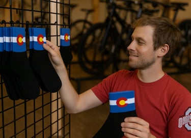
Pick a pair! Outfit your feet in Colorado cycling socks.
The Poudre River Trail - Greeley to Windsor
Distance: 21 miles
The Poudre River Trail runs about 21 miles between Greeley and Windsor in Northern Colorado. The pathway follows the Cache la Poudre River corridor, passing through cottonwood trees, wetland meadows, and sections of riverbank. The trail is paved and flat, with smooth surfaces and impressive natural surroundings.
At the Greeley end of the trail, at Island Grove Regional Park, you’ll find parking, restrooms, and places to get food before heading out. In many sections, tree cover along the river provides shade (nice in summer, less so in colder parts of the year). The river is visible in spots, and wildlife such as deer can make themselves known. Trailside interpretive signs appear in some places.
The surface is smooth for much of the route, but flooding or runoff can cause some areas to collect debris or silt after heavy rain. The paved path is wide enough for two-way bike traffic, walkers, and joggers.
Access to water or restrooms is less frequent outside Greeley and Windsor. Cell phone reception remains good for most of the route. The trail is well used, especially on weekends and holidays. Shared users (hikers, joggers, families with dogs) are common.
Traffic near road crossings can interrupt your ride. Some intersections with city streets require crossing busy roads. Signage is helpful but inconsistent: sometimes there are trail markers, other times riders need to rely on GPS or other maps.
Scenery is mostly river corridor with trees and meadows. There are fewer steep views or altitude changes than along other Colorado cycling trails; it is not a technical ride.
Trail cycling in Colorado: Cruising the Poudre River Trail
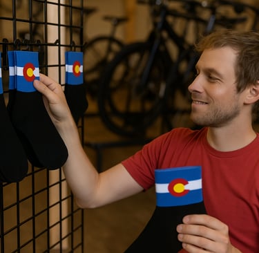
Pick a pair! Outfit your feet in Colorado cycling socks.
Some pages contain affiliate links. If you purchase something through one of these links, we may earn a small commission.